
The Outeniqua Hiking Trail
Av Hiking Time: 9 hours.
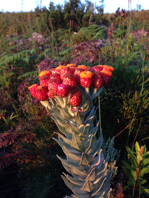
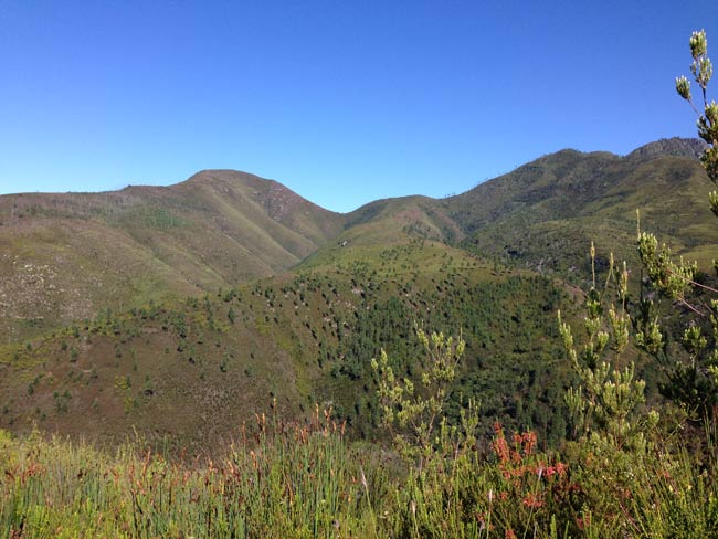
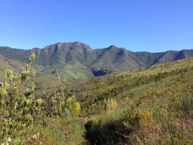
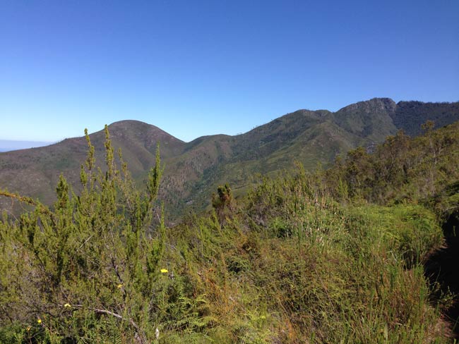
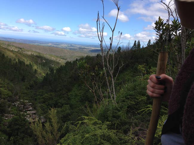
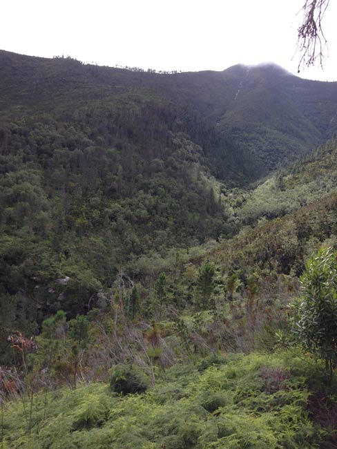
Highlights: Great views.
Be prepared for: Very tricky wet trail, possibly washed away in sections.
NB: The time it takes to walk this route as indicated on the old Sanparks map, is incorrect. The day will take around 7-9 hours and not 5.5 hours as indicated on the old map.
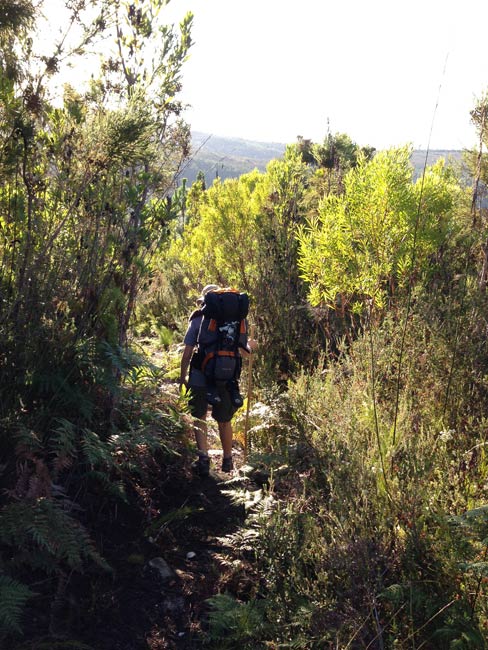
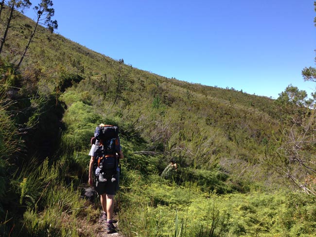
Day 3 starts with a choice of two trails. One leads through the mountains (17km) and the other through the plantations (12km).
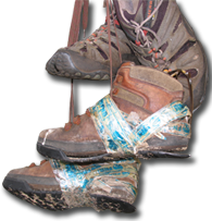
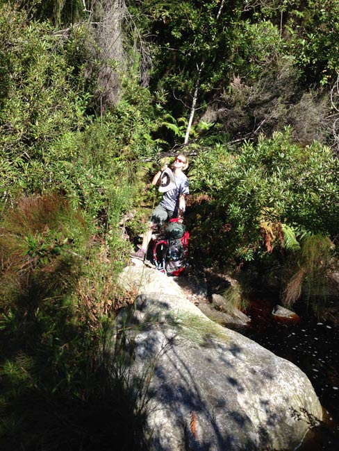
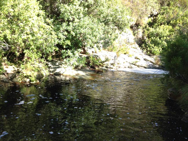
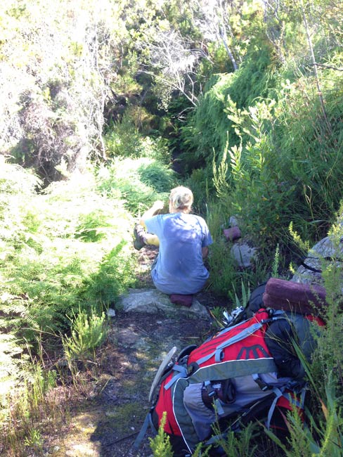
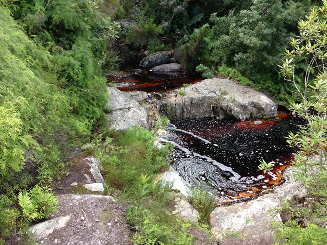
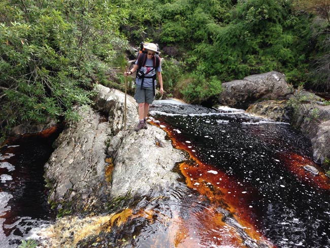
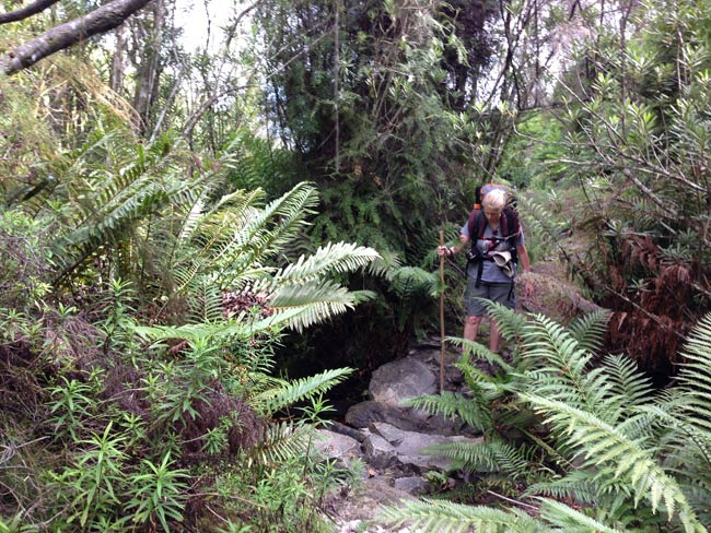
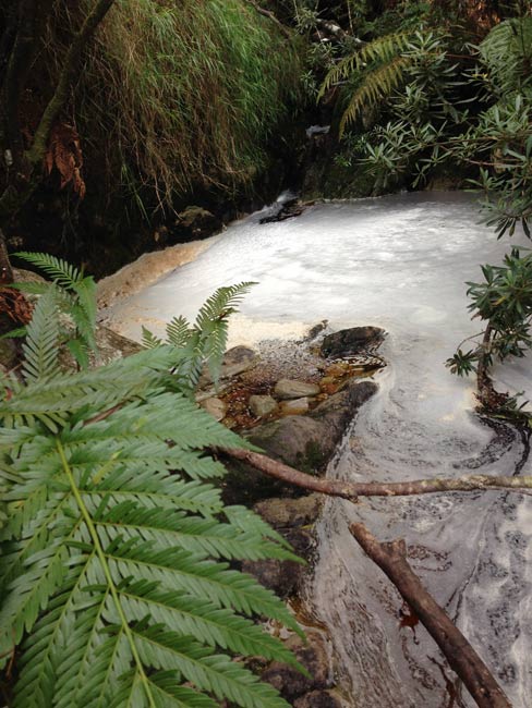
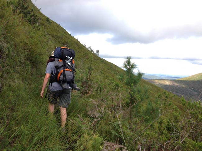
The morning starts with a steep descent to the river. The river crossing proves to be quite tricky, especially after rains.
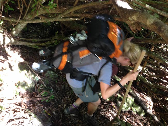
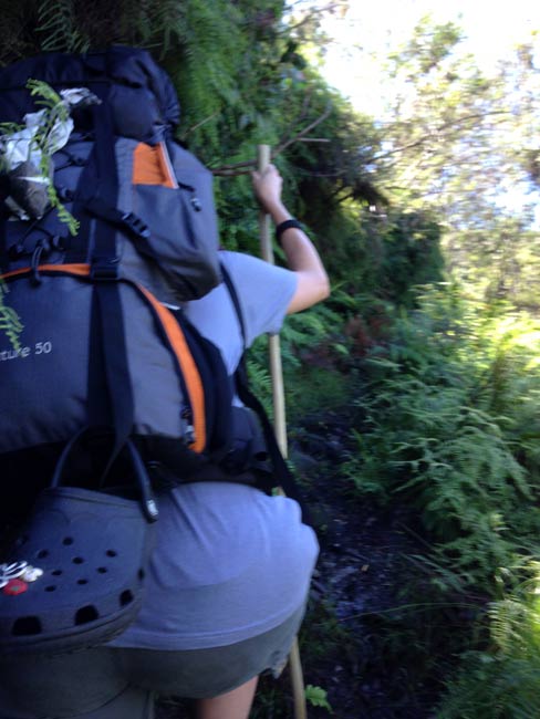
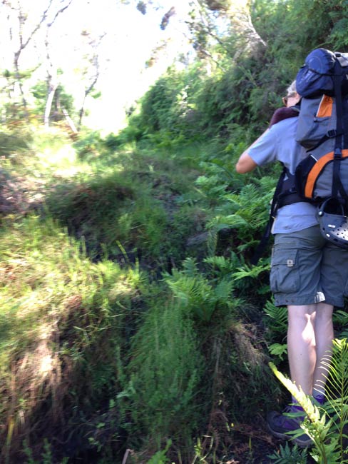
Be prepared for a very steep long uphill right after the river. Be careful as this can be very muddy, especially after rains. A hiking pole for support is a huge help.
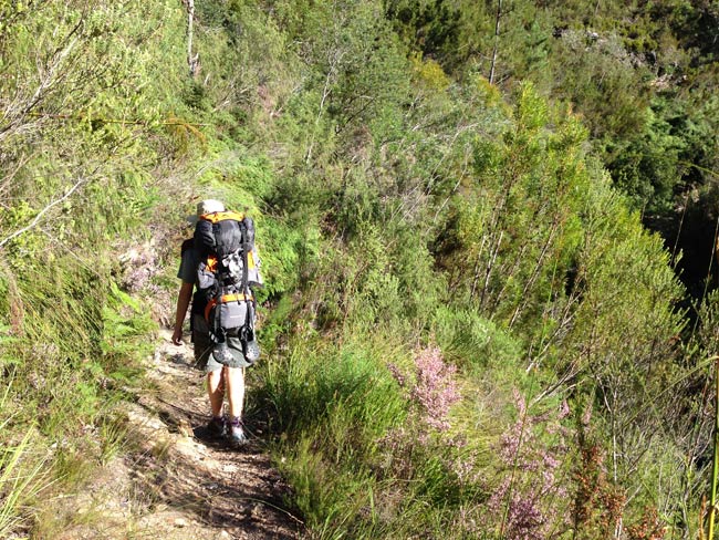
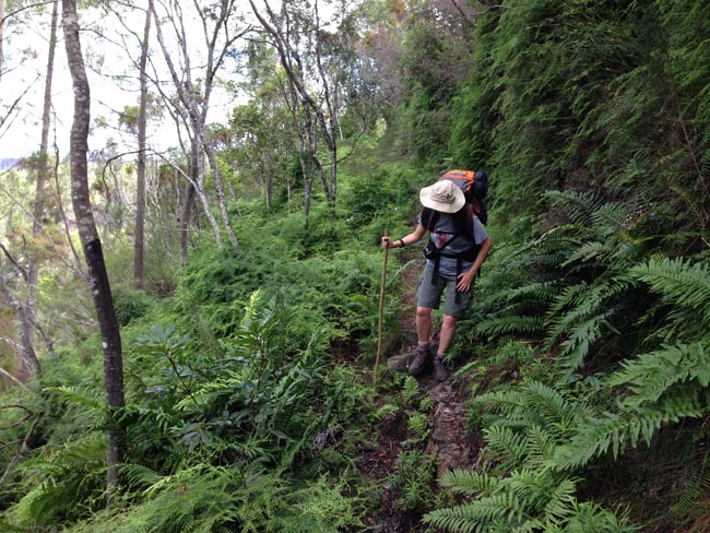
There is a long gradual ascent going into kloofs with many mini ups and downs. The path can get very wet and muddy, at times even resembling a stream.
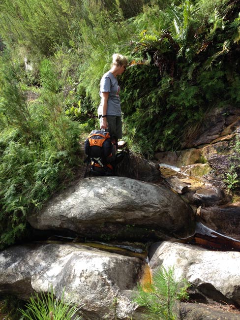
There are a few tricky crossings, with a few places where you may need to remove your backpacks to shimmy across rocks, which can be very slippery and close to the edge of the mountain for comfort.
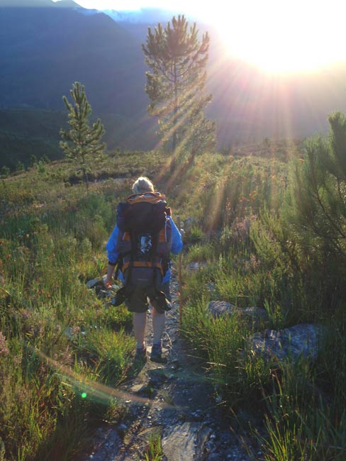
You may find that you will move very slowly along the trail, due to the wet ground and trail difficulty, so it will be a good idea to leave as early as possible to start the day.
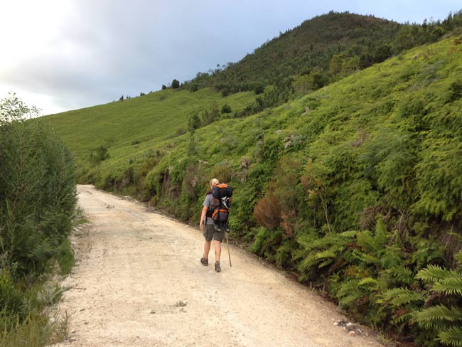
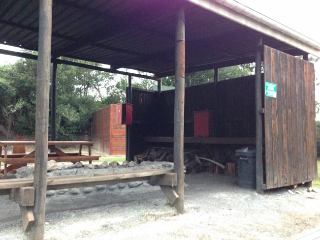
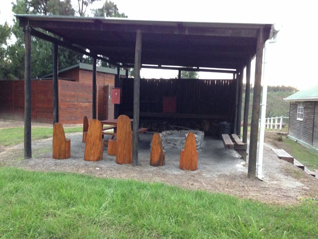
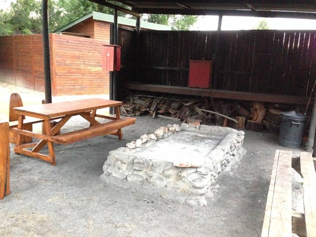
It’s good to prepare yourself to know that you will still have 3 km to go, once you hit the dirt road. There is no view from the Platbos Cabin, but it is decent with better toilets than the previous night’s.
Tips for Day 3:
- A hiking pole will be very useful to help stabilise you.
- Be prepared for wet and muddy conditions.
- Leave as early as possible - it is a long day on your feet.
| « Day 2 | Day 4 » |
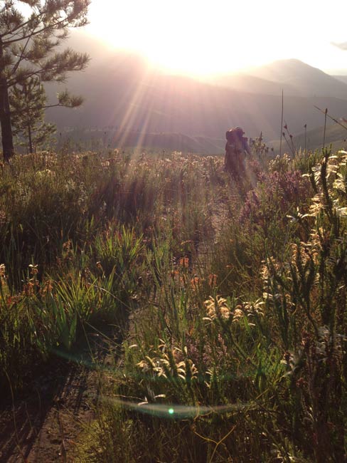
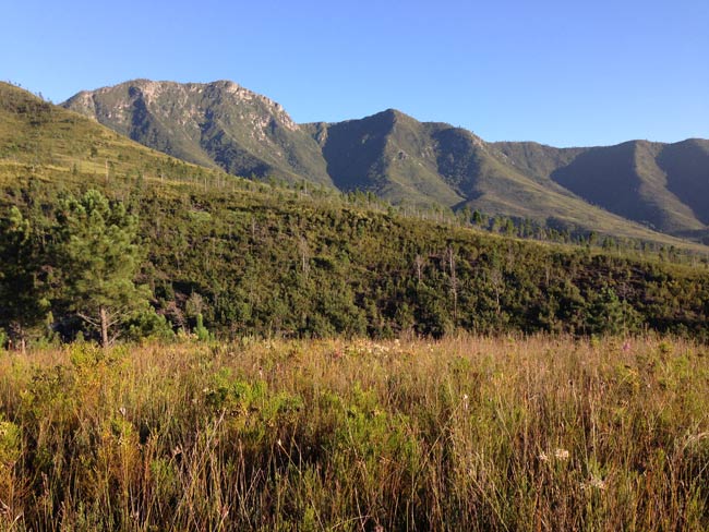
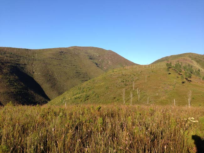
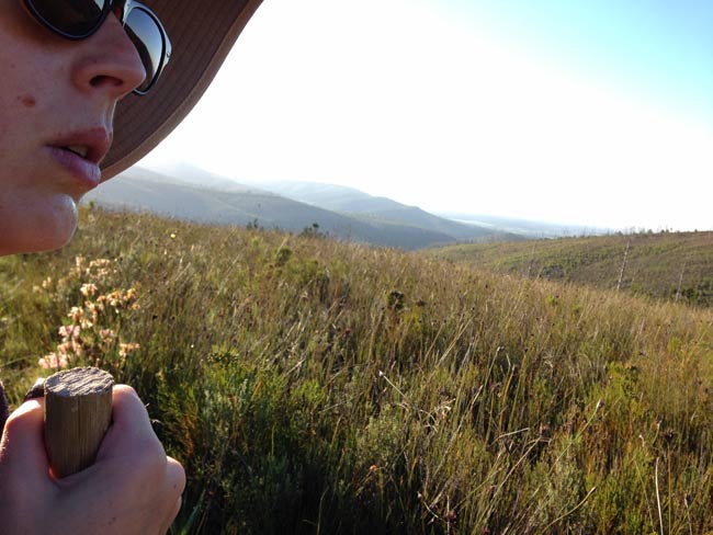
Photos from Day 3
 |
 |
 |
 |
 |
 |
 |
 |
 |
 |
 |
 |
 |
 |
 |
 |
 |
 |
 |
 |
 |
 |
 |
 |
 |
 |
 |
 |
 |
 |
 |
 |
|||